Lake Annecy map: which one to choose, free, IGN or online
There is not one map of Lake Annecy but at least six: the free tourist map from the tourist office, the paid IGN hiking map (3410 OT according to the DIREN data sheet, 3431OTR according to Tourisme Annecy), a cycling map, an educational pack and two interactive maps online.
A “Lake Annecy map” is not a single document. Depending on what you need it for, hiking, cycling, simply finding your way or teaching, at least six different maps coexist, free or paid, on paper or online.
Here is which one to choose for what you are looking for, and where to find it.
Which map should you take to find your way quickly?
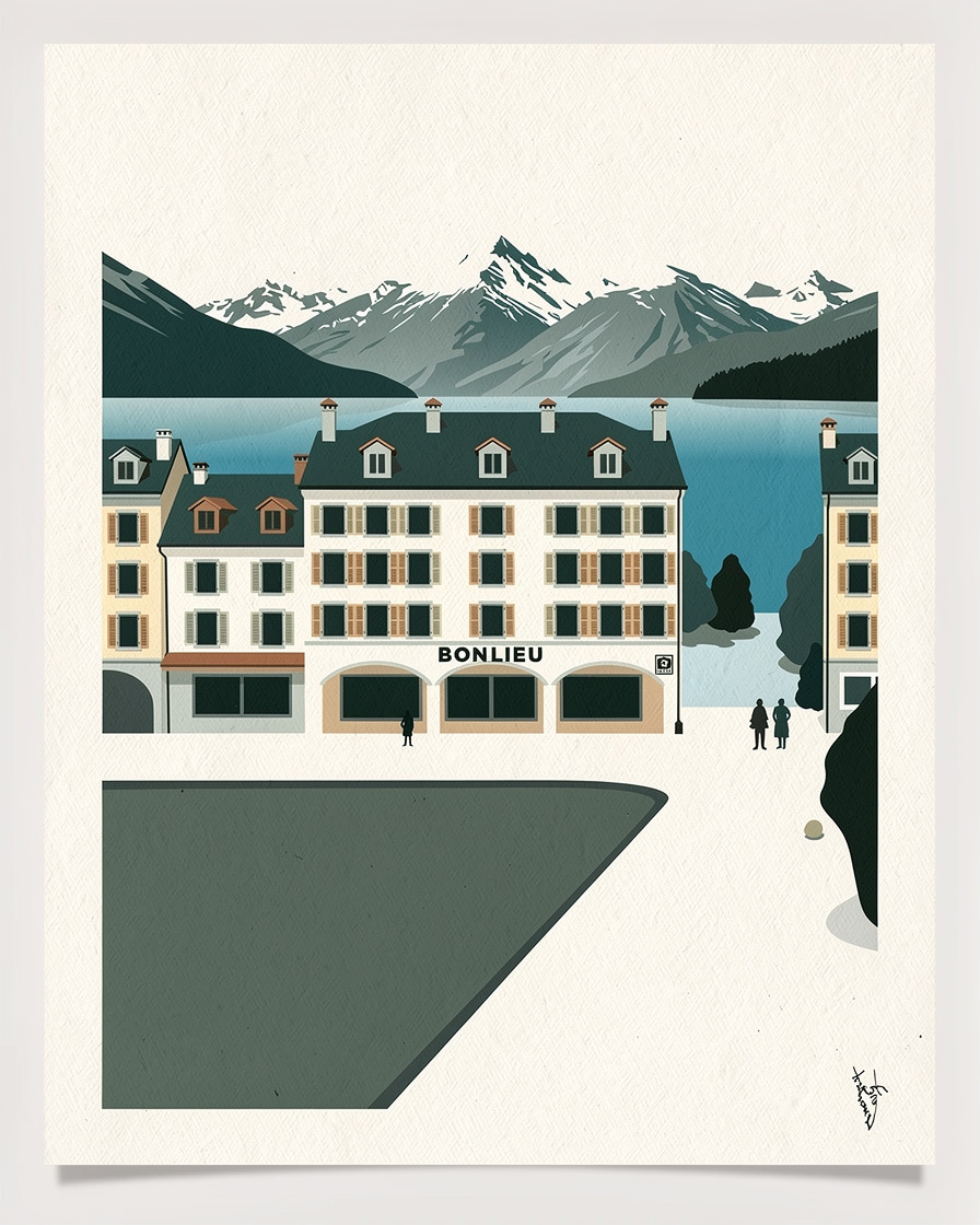
For a first look around, the Lake Annecy tourist map published by the tourist office remains the simplest document. It shows the towns and villages round the lake, the beaches, the main sights and the landing stages, and is handed out free at the tourist information offices.
The main office, at Bonlieu, keeps seasonal hours: in summer (6 July to 31 August), it opens 9am to 6.30pm, Monday to Saturday, with shorter hours and a midday break on Sundays. Out of season the hours are shorter still, so check the day's opening times before going just for a paper map.
For an interactive map that works out distances between the villages and the centre, the Annecy map offers a clickable tool that complements the paper one.
Which map should you use for a hike around the lake?
For the mountains above the lake, only a 1:25,000 IGN map (from France's national mapping agency) gives the detail you need: contour lines, waymarked trails, mountain huts. Two references coexist in the sources consulted: 3410 OT according to the DIREN data sheet, 3431OTR according to Tourisme Annecy.
These maps are paid for, sold in bookshops, outdoor shops or online. None of the sources consulted lists where to buy them in Annecy itself: ask for the exact reference in the shop rather than relying on a single number.
Is there a free map for cycling round the lake?
Yes, a dedicated cycling map exists, published by Sources Lac Annecy: it shows car parks, cycle routes and GPS reference points for the southern part of the lake. It dates from 2021 and is still online on the organisation's website.
For the full cycling route, with distances section by section and current closures, cycling round Lake Annecy and the Lake Annecy loop set out the three ways to go round.
Placing your accommodation in relation to the lake takes the right map: an address “on the lake” on a marketing map can be several hundred metres from the water. The search for accommodation in Annecy lets you check the exact location before booking.
Check accommodation locations on the map →Partner link: booking through this link supports the site at no extra cost to you.What do the maps say about the size of the lake?
The fact sheet from the tourist office and some association documents give a water level of 447 m above sea level, an average depth of 41 m and a width of 800 m to 3.2 km depending on the spot. A technical dictionary rounds slightly differently, to 446.52 m: the gap comes from rounding, not from a separate measurement.
For the details of the disagreement over the lake's exact surface area, body by body, Lake Annecy surface area goes through each source one by one.
What don't Lake Annecy maps tell you?
None of the maps consulted, free or paid, flags summer congestion (full car parks, packed beaches) or temporary closures of trails and beaches. The maps are updated on an editorial cycle rather than day by day: a 2020 paper map may describe a route that has since changed.
No source publishes the number of copies handed out or usage figures for the interactive maps either: there is no way of saying which is consulted most.
Spot the water activities on the ground: paddleboards, kayaks and cruises leave from the same landing stages shown on the tourist map. The Annecy activities page groups the options with duration and price.
See activities on Lake Annecy →Partner link: booking through this link supports the site at no extra cost to you.Sources
Lake Annecy tourist office (tourist map, Bonlieu opening hours 2026), DIREN Rhône-Alpes (lakes data sheet, 2026), tourisme-annecy.net (2024-2025), Sources Lac Annecy (cycling map, 2021).
Musées d'Annecy (geography teaching pack, 2025), an online topographic mapping website. Research compiled on 12 September 2026. No source publishes usage figures comparing the different maps.
Frequently asked questions
Where can you get a free map of Lake Annecy?
Which IGN map should you choose for hiking around Lake Annecy?
Is there a map for cycling round Lake Annecy?
Do Lake Annecy maps show the most crowded areas?

Camille Perrissin
Camille grew up in Sévrier, on the west shore, and swims in the lake from April to November. She has been taking the water temperature herself since 2019 and knows where the bottom suddenly drops away. She writes about the lake without ever turning it into a postcard.