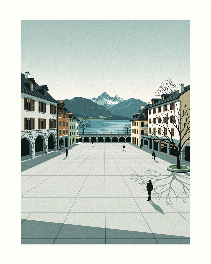
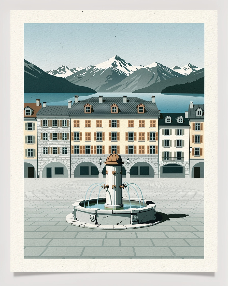
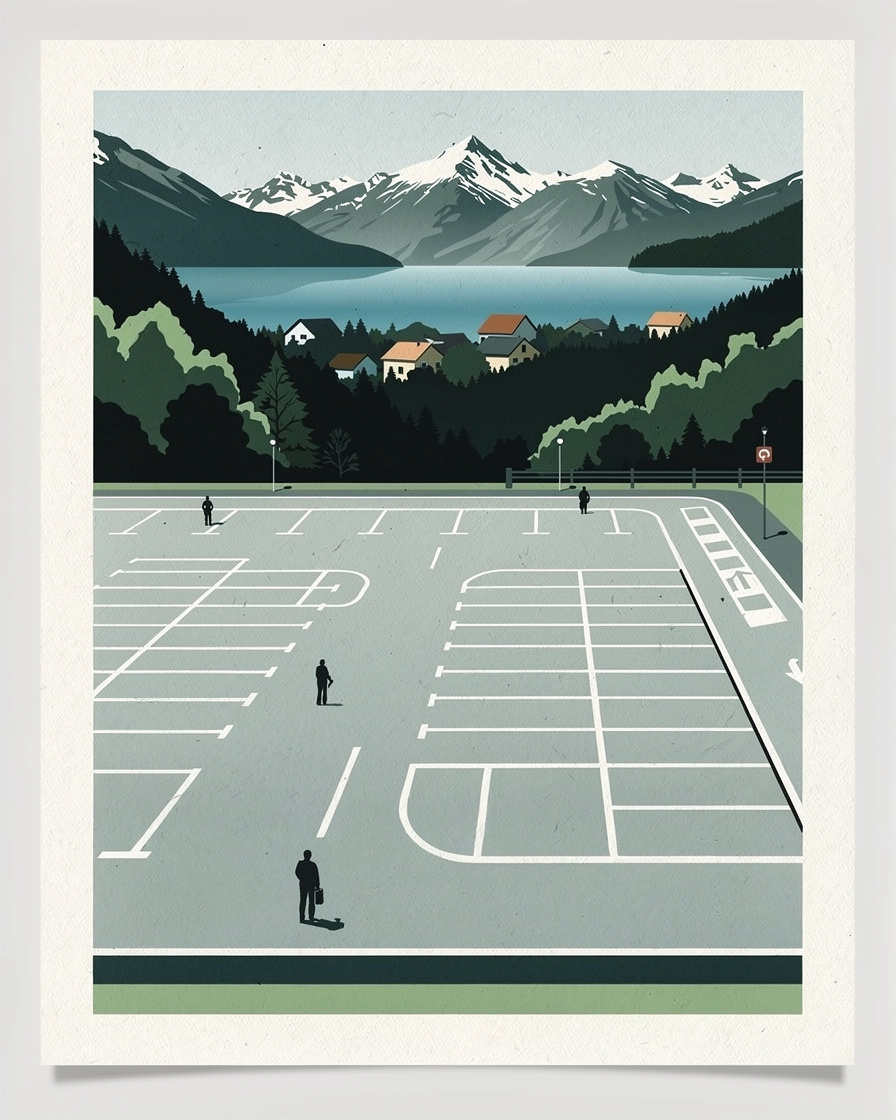
Annecy map: where the town centre ends and the lake begins
The historic centre fits into six hundred metres, the lake is 14.6 km long, and in between, the map of parking zones tells the geography better than a tourist map.
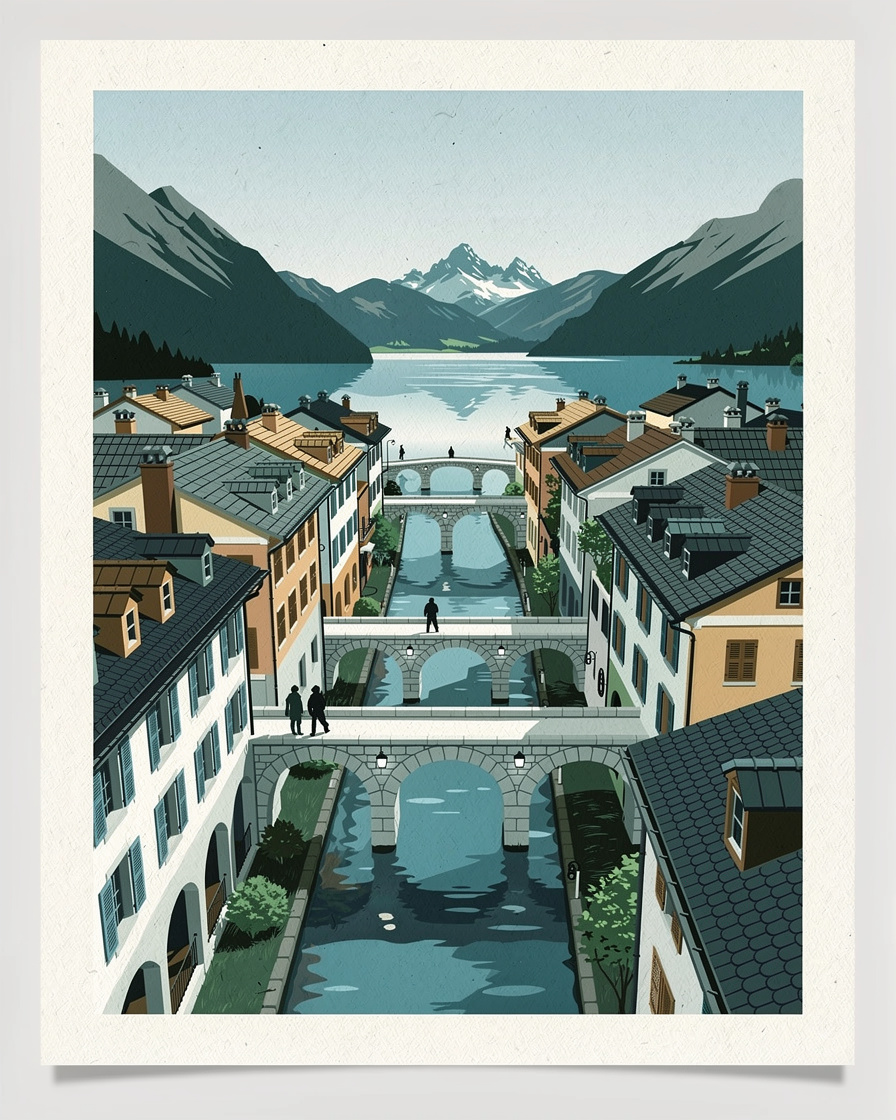
Annecy's map reads in three layers: a tiny historic centre, a fourteen-kilometre lake that shapes everything else, and a ring of districts that property listings are happy to call "town centre".
This page sets out the real distances and the verified dimensions, so that you know what "ten minutes from the lake" actually means before you book anything.
The map below is interactive. Tap a number to see the name of the place, then tap Go for directions.
How big is Lake Annecy?
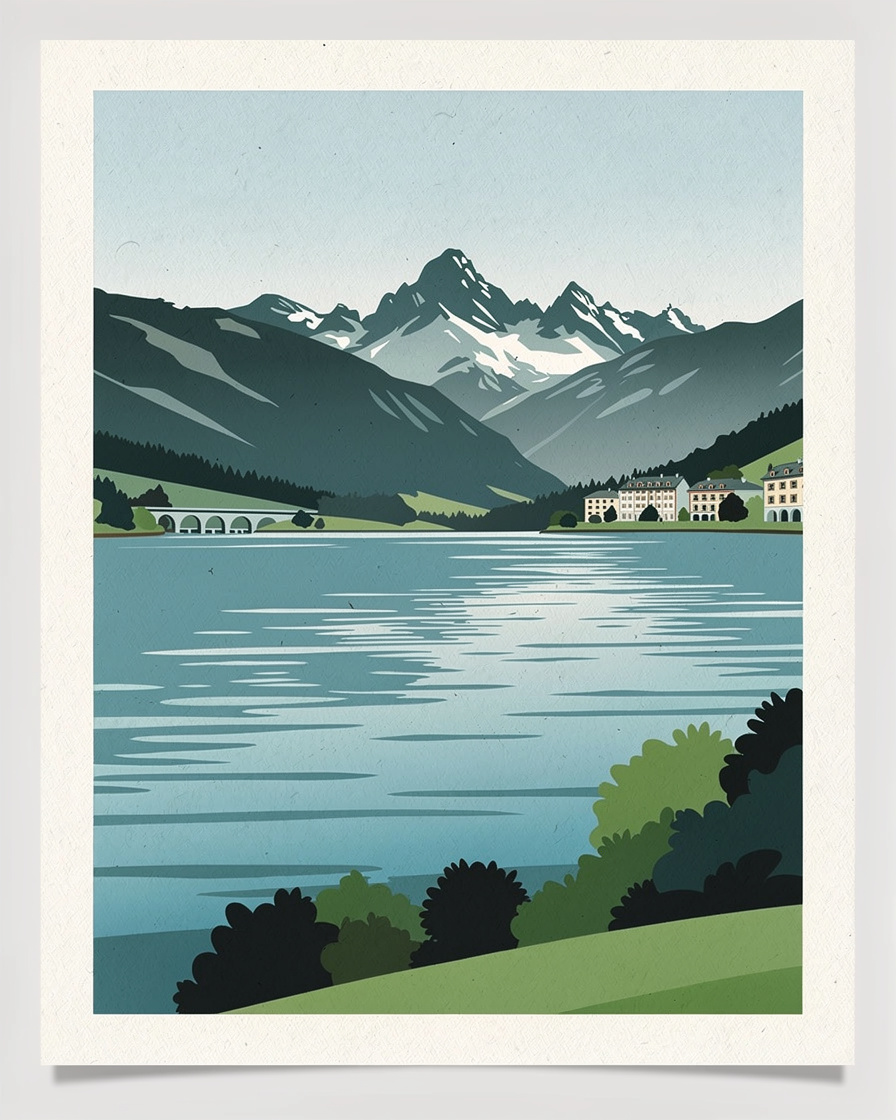
The figures do not converge, and that is the most useful piece of information here: depending on the method and the body, the surface area ranges from 26.5 to 27.6 km². Giving a range is more honest than quoting a decimal.
- Surface area: 26.5 to 27.6 km² depending on the source.
- Length: 14.6 km, maximum width 3.2 km.
- Perimeter: 32 km according to Larousse, against 45 km for the full circuit published by the tourist office.
- Average depth: 41 m, maximum 78.7 m at the Boubioz hole according to SILA.
On the maximum depth, the sources clearly disagree: the lake authority gives 78.7 m, Larousse 80 m, Wikipedia goes up to 81 or 82 m. SILA manages the lake, so its value is the one we quote.
The lake is divided into two basins. The large basin, on the Annecy side, drops to about 65 m; the small basin, to the south towards Duingt and Doussard, to about 55 m. This sill explains the temperature difference between the two ends early in the season.
How big is the historic centre?
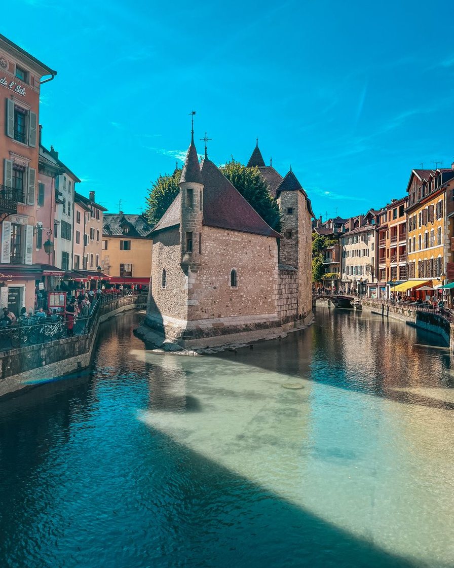
What guidebooks call Annecy's old town fits into a pocket handkerchief: the canals, the Palais de l'Île, the arcaded streets and the foot of the castle take up a few hundred metres.
From the old town square, the Palais de l'Île is 100 to 300 m away, the castle 300 to 600 m uphill, the Jardins de l'Europe and the Pâquier 500 to 1,000 m. The whole tourist core can be covered in twenty minutes' walk.
The Bonlieu, Pâquier and lakeshore axis is the hinge of the map: that is where the town tips into the lake, and where the tourist office, the most central covered car park and the boat landings are concentrated.
Why does the parking map explain the geography better than a tourist map?
To understand how Annecy is organised, the most telling document is not a town plan: it is the parking tariff. It divides the area according to real pressure, not according to how picturesque it is.
- Lakeside: the most expensive zone and the only one charged seven days a week, €0.70 per quarter hour.
- Red zone: the historic core, same rate, but free on Sundays and public holidays, with a maximum stay of around 2 hr 15 min.
- Green and orange zones: the residential ring, €0.30 per quarter hour, with a free lunch break.
The reading is simple: the closer you get to the water, the more expensive and shorter your time. The details of the tariff and its contradictions are in parking in Annecy.
Watch out for a vocabulary trap specific to this town. Depending on the document, "zone verte" (green zone) means a paid zone in the centre or a free zone on the outskirts, and "zone émeraude" appears in some tariffs but not in others. The sign on the spot is what counts.
Is the lake circuit 37 or 45 km?
Both, depending on what you count. The tourist office publishes 37 km for the cycle circuit, including 33 km on cycle paths, with 250 m of climbing. The same office gives 45 km for the full circuit, without saying how it is done.
GPS track platforms add their own spread: from 37 to 39.8 km depending on the route, with 357 to 397 m of climbing, and up to 41.1 km on one mainstream listing. Allow 3 to 5 hours' cycling for the full loop.
This spread comes from route variants on the east shore, where the cycle path alternates with the main road. On the west shore, the greenway runs continuously from Annecy to Doussard, which makes it the easy half of the circuit.
How far are the lakeside villages?
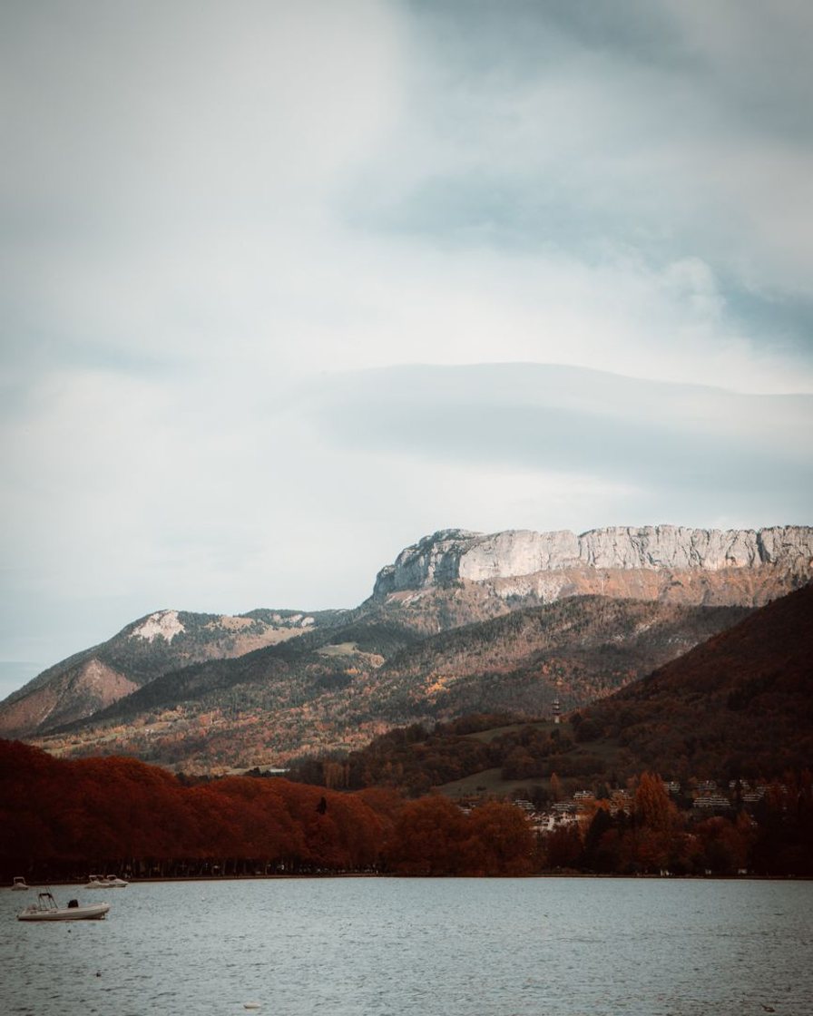
About ten municipalities line the lake. Four come up in every itinerary: Talloires and Menthon-Saint-Bernard on the east shore, Duingt on the west shore, and Bout-du-Lac at the southern tip.
- Annecy to Talloires: 20 to 40 minutes by car, 45 to 90 minutes by bike.
- Annecy to Duingt or Bout-du-Lac: 30 to 50 minutes by car or bus, 1 to 2 hours by bike.
- Annecy to the Col de la Forclaz: 30 to 45 minutes by car.
- Time spent in each village: 1 h 30 to 3 h for a stroll and a drink on a terrace.
A day of "Annecy plus two villages plus Bout-du-Lac" takes 7 to 9 hours, travel included. Guides almost always leave out the waiting time at bus stops, which is not published anywhere.
Where can you get a paper map, and which one?
The Bonlieu tourist office hands out the lake tourist map and town plans free of charge. In summer, it opens 9am to 6.30pm, Monday to Saturday, with split hours on Sundays.
For hiking, the 1:25,000 IGN map covering the lake has to be bought, in bookshops or sports shops. Be careful: two references circulate in official sources, 3431OTR and 3410 OT. Check the number when you buy.
A free cycling map also exists as a PDF, published by the Sources Lac Annecy tourist body, with car parks and routes. It dates from 2021 and has not been reissued since.
The weak point of the system is well known: there is no single interactive map bringing together accommodation, activities, beaches and transport. The information is scattered across several tools, and the town publishes no open data portal.
What does the map not tell you?
Three gaps are worth flagging. No complete, up-to-date official map of the parking zones street by street is published: you have to read the signs.
Nor is there an accessibility map. Municipal documents give the number of accessible spaces per car park, never whether routes are step-free, nor the gradients or surfaces around the quays and in the old town.
Finally, no source publishes car park occupancy rates or visitor figures by sector. To choose where to sleep with your eyes open, our comparison where to stay in Annecy goes district by district through what the map only hints at.
The one reflex that works on a map: check the exact address before booking, not the "town centre" label in the listing. The accommodation search for Annecy shows the location on the map, which settles the question in ten seconds.
Locate accommodation on the Annecy map →Partner link: booking through this link supports the site at no extra cost to you.Sources
SILA, the Lake Annecy joint authority (lake characteristics, 2026 technical sheet), Office de tourisme du lac d'Annecy (press kits, 2020 tourist map PDF, Bonlieu office page updated on 9 September 2026), Larousse (Lake Annecy entry, 2026), Wikipedia (Lake Annecy entries, checked 2026).
IGN via Tourisme Annecy and the DIREN sheet (maps 3431OTR and 3410 OT), Sources Lac Annecy (2021 cycling map PDF), Ville d'Annecy (2024 traffic plan, 2026 street parking rates), Parkopedia and Seety (readings 2024 to 2026). Research consolidated on 12 September 2026.
Frequently asked questions
What is the surface area of Lake Annecy?
How deep is Lake Annecy?
How many kilometres is the Lake Annecy circuit?
Can you see central Annecy on foot?
Where can you get a free map of Annecy?

Léa Missillier
Léa spent four years in the planning department of a municipality in the Annecy area, where she saw the parking orders go through. She knows how to read a municipal regulation and spot what it leaves out. She dates every price she publishes.