Lake Annecy surface area: why the figure ranges from 26 to 28 km² depending on the source
Most websites give Lake Annecy's surface area as 26.5 to 27.6 km², yet the tourist office itself publishes 26.53 km² in its press kits, while the Eaufrance summary uses 26.39 km², or 2,639 hectares. Here is where the gap comes from, body by body.
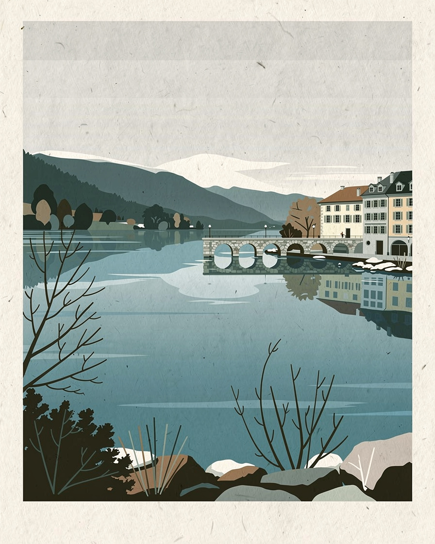
Search for Lake Annecy's surface area and you will get a different figure on each website: 26.39, 26.5, 26.53, 27 or 27.6 km². None of these sites is lying, and none is the only one to be right.
Here is what each body publishes, with its date and method where known, and why nobody has ever settled between them.
Why does Lake Annecy's surface area vary from one source to another?
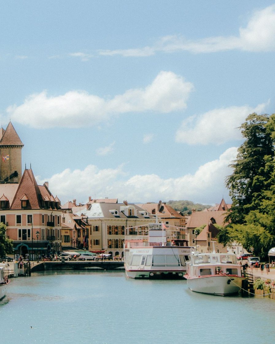
Two families of figures coexist. Scientific and hydrological bodies use a low range, between 26 and 26.5 km². Tourism and heritage bodies tend to publish between 27 and 27.6 km².
None of the documents consulted details the exact method: the water level used (high, average, low), the precise date of the survey, or whether reed beds and flood zones count in the area. This lack of a published method is itself the main cause of the gap, more than any genuine scientific dispute.
What do the scientific and hydrological bodies publish?
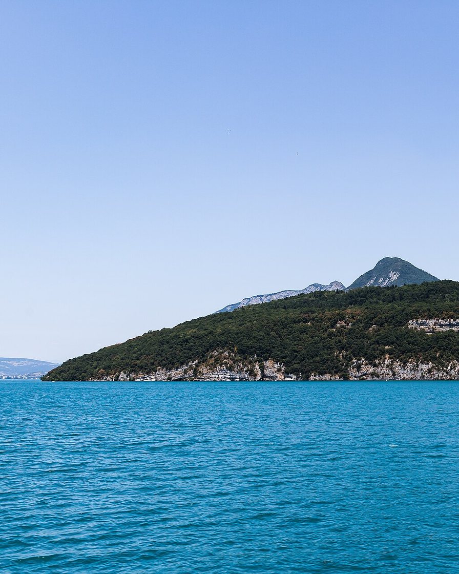
Photo: Medium69, CC BY-SA 4.0, via Wikimedia Commons
- Eaufrance (Rhône-Méditerranée summary, 2010): 26.39 km², or 2,639 hectares.
- Quae, a scientific book on the lake and its plankton: 26.5 km², of which 20.25 km² for the Grand Lac and 6.25 km² for the Petit Lac. It is the only source consulted that splits the figure between the two basins.
- International Office for Water (Office International de l'Eau), in a comparison of Alpine lakes: 26 km².
These three sources sit within a narrow range, 26 to 26.5 km², consistent with a technical measurement of the open water alone, without the margins.
What do the tourist office and the encyclopaedias publish?
The Lake Annecy tourist office publishes 26.53 km² in its 2021 press kits, a value close to the scientific figures. But the SILA, which manages the lake day to day, shows 27 km² on its own website.
The encyclopaedias go further: the English and Spanish Wikipedia give 27.59 km², while the French version quotes both 26.5 km² and a range of 2,650 to 2,759 hectares (up to 27.59 km²) without saying which is current. French-language tourism websites (Larousse, Vikidia, local guides) tend to cluster around 27 to 27.6 km².
The contrast is clear: the tourist office gives a lower figure than the SILA, which actually manages the lake day to day, and a lower one still than the general-audience encyclopaedias.
Where does the gap come from, historically?
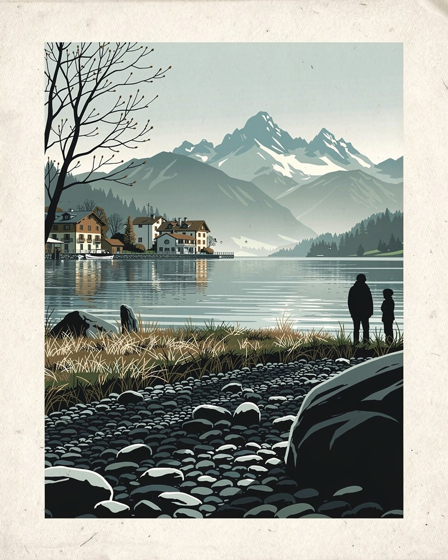
The measured area has itself changed over time. Measured at 2,800 hectares, or 28.0 km² in 1898, it went down to 2,759 hectares after the First World War, the high value still quoted by Wikipedia. Recent technical measurements (Eaufrance, Quae) have since settled lower, around 26 to 26.5 km².
This gradual fall suggests a correction in method from one survey to the next rather than an actual shrinking of the lake: no source documents any physical retreat of the water over the period.
Which range should you use?
No body stands out as the single, undisputed reference: neither the SILA, nor the tourist office, nor Eaufrance publishes a value described as official in the sense of a regulation. The range 26.5 to 27.6 km² remains the fairest wording, citing its source each time rather than a single figure.
To place these basins on a map and see where the Grand Lac ends and the Petit Lac begins, our guide to Lake Annecy maps covers the paper and IGN maps available. For the lake's other dimensions (length, width, depth), Lake Annecy in figures brings the checked data together.
The Grand Lac and the Petit Lac are not alike when it comes to accommodation: the Grand Lac shore holds the most sought-after addresses in summer. The search for summer accommodation in Annecy compares prices by area.
Compare accommodation around the lake →Partner link: booking through this link supports the site at no extra cost to you.To explore both basins without a car, the cruises sail along the Grand Lac and the Petit Lac: the options are detailed in cruises on Lake Annecy.
Other water activities let you see the difference between the two basins from the water: the Annecy activities page groups paddleboarding, kayaking and sailing with duration and price.
See activities on Lake Annecy →Partner link: booking through this link supports the site at no extra cost to you.Sources
Wikipedia (French, English, Spanish), Larousse, Vikidia, SILA (lake characteristics, 2026), Lake Annecy tourist office (press kits, 2021), Eaufrance / Rhône-Méditerranée (summary of lakes and reservoirs, 2010), Quae (scientific book on the lake and its plankton), CEN Rhône-Alpes (heritage guide, 2016), International Office for Water.
annecyguide.com, tourisme-annecy.net, jds.fr. Research compiled on 12 September 2026. None of the documents consulted publishes the exact measurement method (water level used, survey date): this page compares published figures, it does not measure the lake itself.
Frequently asked questions
What is the surface area of Lake Annecy?
Why don't the tourist office and the SILA give the same figure?
Has Lake Annecy's surface area changed over time?
Does Lake Annecy have two separate basins?

Camille Perrissin
Camille grew up in Sévrier, on the west shore, and swims in the lake from April to November. She has been taking the water temperature herself since 2019 and knows where the bottom suddenly drops away. She writes about the lake without ever turning it into a postcard.
.jpg)