How deep is Lake Annecy? The average, the main basin and the Boubioz hole
Depending on the source, the maximum depth of Lake Annecy ranges from 65 m to 82 m. None of them is wrong: they do not measure the same spot. The three figures to keep apart, the organisation and the year behind each one, and the sinkhole that pushes the total up.
"How deep is Lake Annecy?" is a question that hides three: the average depth, the depth of the main basin, and the depth of the lowest point, a localised sinkhole. Websites that answer with a single figure mix all three.
This page separates the three values, gives the organisation and the year behind each, and explains why the body that manages the lake publishes 78.7 m when the encyclopaedias say 82.
What is the average depth of Lake Annecy?
It is the only figure everyone agrees on: 41 m for SILA, the joint authority that manages the lake, 41.50 m for Larousse, 41.5 m for the world lake database and Wikipedia. Popular websites round it to 41 m.
A lake with an average depth of 41 m over a length of 14.6 km is a "relatively shallow" lake, in the words of Larousse. It is not an Alpine abyss: lakes deeper than 200 m exist in the Alps, and Annecy is not one of them.
Why does the maximum depth range from 65 to 82 m depending on the source?
Because "maximum" does not refer to the same point. Here are the published values, with where they come from.
| Value | What it measures | Source and year |
|---|---|---|
| 64.7 m | Basin of the main lake | Geographical dictionary, ILEC (2011, 2026 pages) |
| 65 m | Basin of the main lake | BRGM, hydrogeological report |
| 55.2 m | Basin of the small lake | Geographical dictionary (2011) |
| 78.7 m | Boubioz hole | SILA, lake characteristics sheet (2026) |
| 80 m | Boubioz hole | Larousse (2026) |
| 80.6 m | Boubioz hole | Geographical dictionary, hautesavoiephotos (2026) |
| 81 m | Boubioz hole | French Wikipedia (2003-2011, updated 2026) |
| 82 m | "Maximum depth" | English Wikipedia, tourism websites (2026) |
The values around 65 m describe the wide, flat-bottomed basin of the main lake, measured by older surveys. The values from 78.7 to 82 m describe a single point, the Boubioz funnel. Tourism websites keep the most spectacular figure without saying what it refers to.
One diving website even notes older references to 65 or 66 m presented as the depth of the lake, while quoting 78.7 m as the official value. The general public reads all this as contradictions; they are different things.
What is the Boubioz hole?

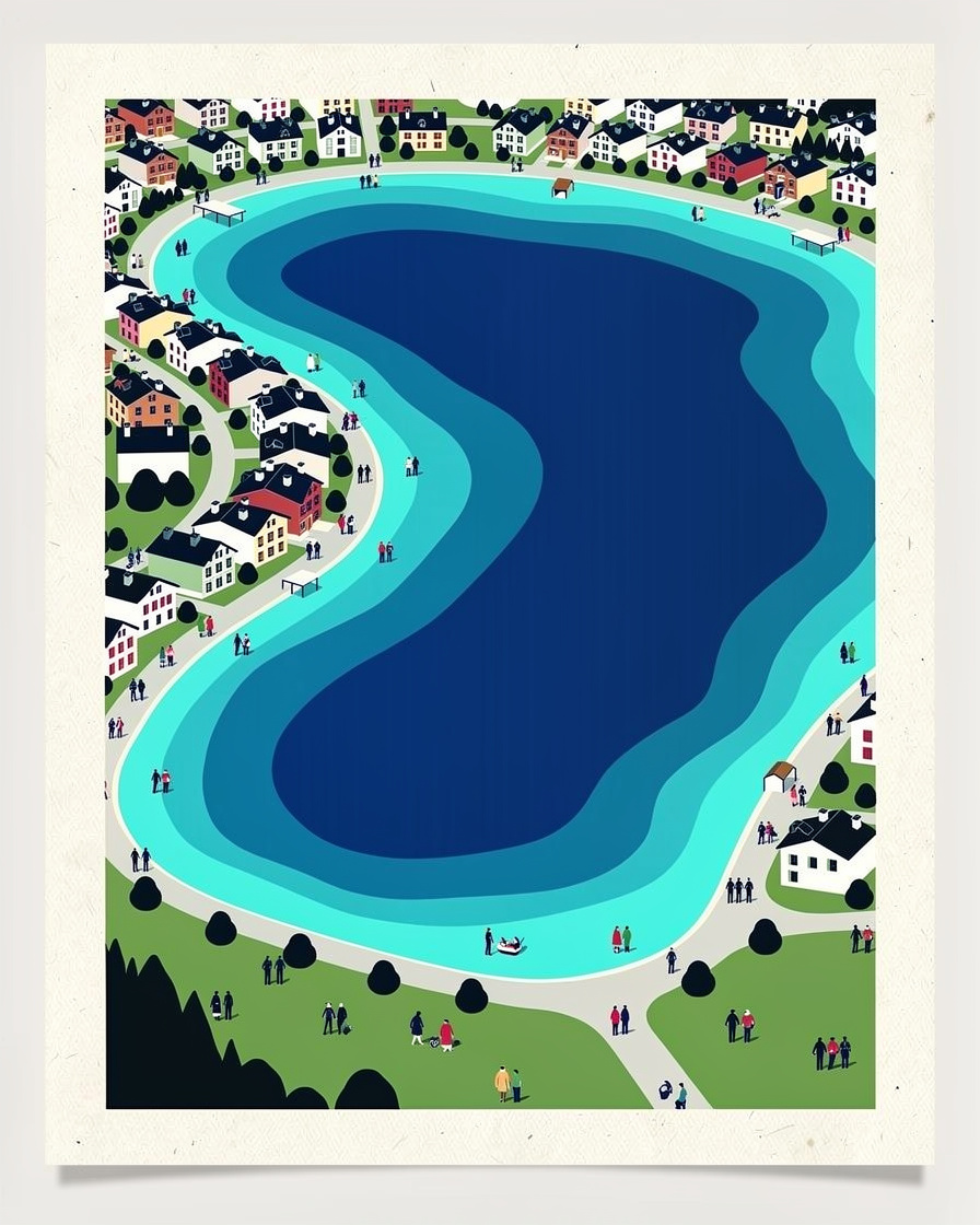
An elliptical funnel in the north-west of the lake, towards La Puya, at the foot of the Semnoz. Larousse describes it as an 80 m sinkhole "at the bottom of which flows an underwater spring fed by water seeping from the Semnoz".
This spring, the Boubioz, feeds the lake from below. That explains why the deepest point is not in the middle of the lake but close to a shore, and why it drops fifteen metres below the main basin.
The story of the "mysterious sinkhole" appeals to tourist offices. What is missing is public bathymetry: no official interactive depth contour map is available to the general public in the sources consulted, only extracts from reports.
Main lake, small lake: two basins that do not warm up the same way
The narrows at Duingt separate the main lake to the north, which goes down to about 65 m, from the small lake to the south, which stops at around 55.2 m. This threshold has a consequence swimmers can feel: the small lake, being shallower, warms up faster in spring.
The layering is the same everywhere: the surface at 22 to 23°C in July, water at 6 to 8°C below about fifteen metres. Temperatures month by month are in the temperature of Lake Annecy, and the current reading in the water temperature today.
The shape of the lake bed makes sense from the deck of a boat: guided cruises pass from the main lake to the small lake through the Duingt narrows, where the bottom rises. The Annecy activities page brings together cruises and water activities with duration and price.
See cruises on Lake Annecy →Partner link: booking through this link supports the site at no extra cost to you.Which figure should you quote?
The one from the lake's managing body, with its label: 78.7 m at the Boubioz hole according to SILA, and an average of 41 m. SILA is the organisation that measures, manages and publishes an up-to-date technical sheet.
If you read 82 m, it is English Wikipedia or a tourism website repeating an old value. If you read 65 m, it is a basin and not the lowest point. None of these sources explains its margin of error or its height reference system, which is enough to produce a three-metre gap.
The lake's other dimensions

SILA publishes a volume of 1,124,500,000 m³. The historical geographical dictionary gives an altitude of 446.52 m and a surface area of 2,704 ha, or 27 km², within the 26.5 to 27.6 km² range given by current sources.
Length, width, shoreline and bike loop are gathered in Lake Annecy in figures, and the layout of the shores in the map of Annecy. No source publishes a series on the lake level through the seasons, or any change in depth linked to how the water level is managed.
You look at the main lake from Annecy and at the small lake from Duingt or Doussard: choosing the shore means choosing the view. The search for places to stay in Annecy shows the exact location on the map before you compare prices.
See places to stay on Lake Annecy →Partner link: booking through this link supports the site at no extra cost to you.Sources
SILA, the joint authority for Lake Annecy (lake characteristics, 2026 sheet), BRGM (report RR-31477-FR), Larousse (Lake Annecy entry, 2026), ILEC world lake database (sheet 3506, 2026), Wikipedia FR, EN, DE and PT (2003-2011 data, tables updated 2024-2026, based on the Revue savoisienne and the Dictionnaire géographique et administratif de la France).
profilplongee.fr (maximum depth and size of the lake, 2026), annecyvibes.com, annecyguide.com, chapexpert.fr, hautesavoiephotos.com, alpviv.org (2024-2026). Research consolidated on 12 September 2026. The differences between sources are set out with their origin, not settled beyond choosing the managing body as the reference.
Frequently asked questions
What is the maximum depth of Lake Annecy?
What is the average depth of Lake Annecy?
What is the Boubioz hole?
Why do the depth figures for Lake Annecy differ?
What is the volume of Lake Annecy?

Camille Perrissin
Camille grew up in Sévrier, on the west shore, and swims in the lake from April to November. She has been taking the water temperature herself since 2019 and knows where the bottom suddenly drops away. She writes about the lake without ever turning it into a postcard.